


How being furloughed affected people’s sense of time and relationship with work

The Anthropocene already exists in our heads, even if it’s now officially not a geological epoch

Gaza war: how maps are used and abused in times of conflict

Evil Does Not Exist: powerful Japanese eco-drama about one community’s fight against intrusive land development

How Colour Vision Deficiency impacts decision making and accessibility through GIS analysis within the utility industry

Pregnancy apps and the silencing of loss

Video games like Snufkin: Melody of Moominvalley can inspire players to look after nature
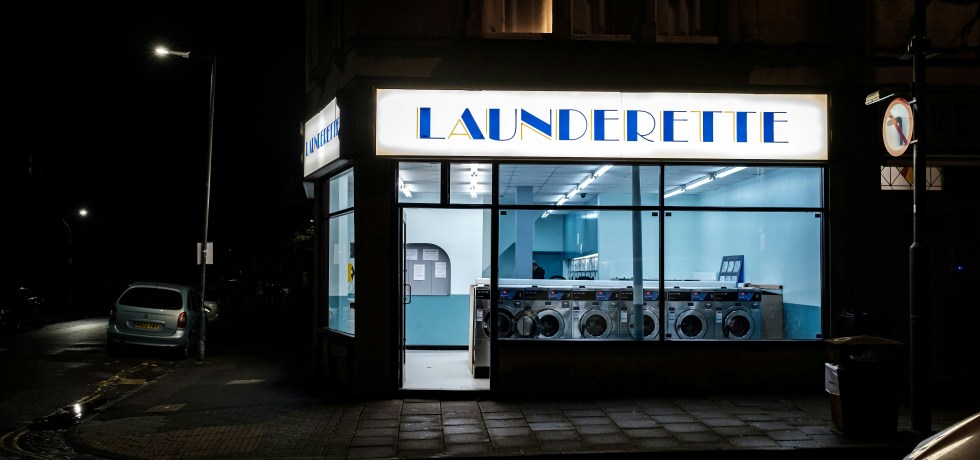
Doing laundry by hand sheds just as many microfibres as machine washing – new research

New islands are being built at sea – but they won’t help millions made homeless by sea-level rise

Sweden has vast ‘old growth’ forests – but they are being chopped down faster than the Amazon

What the Anthropocene’s critics overlook – and why it really should be a new geological epoch

Dune: what the climate of Arrakis can tell us about the hunt for habitable exoplanets

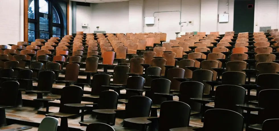
The Turing scheme was supposed to help more disadvantaged UK students study abroad – but they may still be losing out

The world’s business and finance sectors can do much more to reverse deforestation – here’s the data to prove it
South Africa’s apartheid legacy is still hobbling research – a study of geography shows how
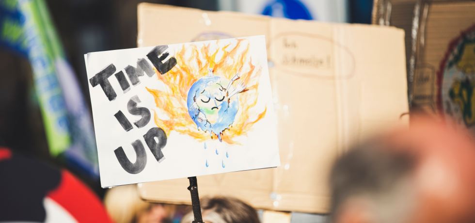
Jo Brand translated my science. I’m certain that comedy can connect people to climate change

Maps shape our lives – showing us not just where we are, but who we are
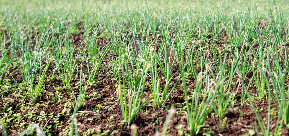
Potassium in our soil is running low, threatening global food security – new study proposes a way out

Javier Milei: Argentina’s new president presses ahead with economic ‘shock therapy’ as social unrest grows
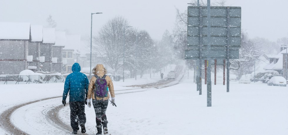
Weather v climate: how to make sense of an unusual cold snap while the world is hotter than ever

Black communities are using mapping to document and restore a sense of place

Climate disaster movies resonate in ways that news never will

A net-zero world will be more peaceful, it’s assumed – but first we have to get there

Despite the climate crisis, Scotland is burning as much carbon-rich peatland as it did in the 1980s
Migrants can be a transformative force for sustainable development
Why the UK census should not be replaced with alternative sources of data
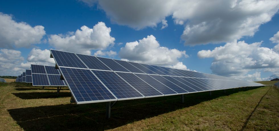
Gigantic solar farms of the future might impact how much solar power can be generated on the other side of the world
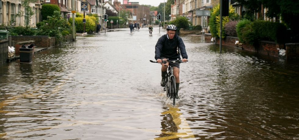
Extreme UK flood levels are happening much more often than they used to, analysis shows
Central banks should be fighting the climate crisis – here’s why
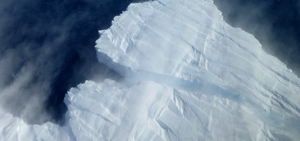
Antarctic study proves glacier has undergone irreversible retreat – highlighting potential for widespread ice loss
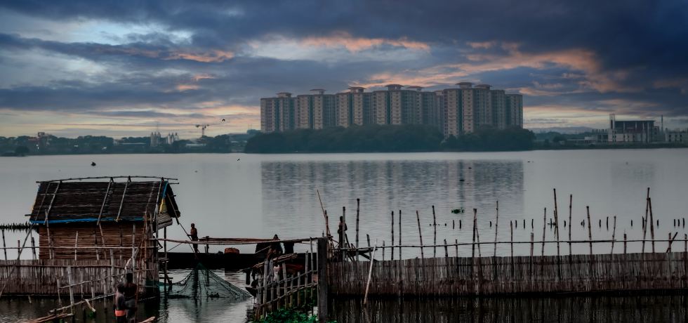
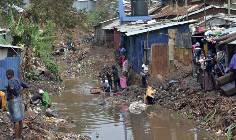
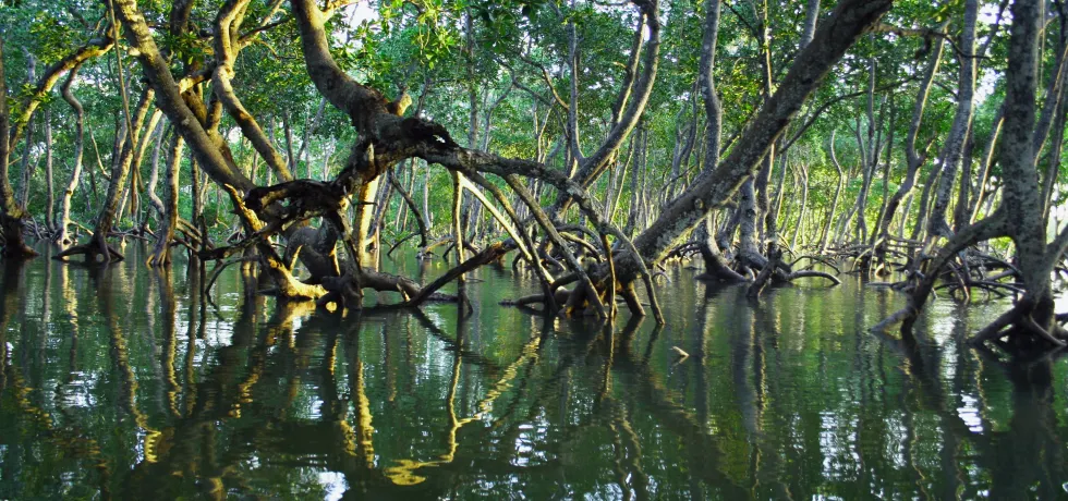
River deltas are threatened by more than climate change – leaving hundreds of millions of people at risk
The disagreement between two climate scientists that will decide our future
COP28 agreement on adapting to climate change kicks the real challenge down the road
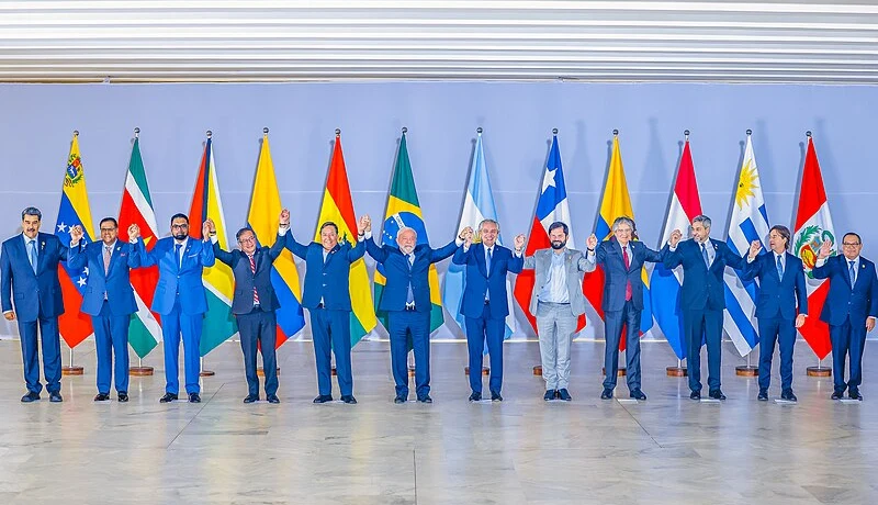
Why Venezuela is threatening to annex Guyana’s oil-rich province of Essequibo

Why are people still flying to climate conferences by private jet?

COP28: countries have pledged to cut emissions from cooling – here’s how to make it happen
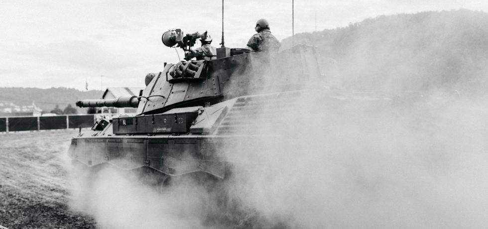
Warfare ruins the environment – and not just on the front lines
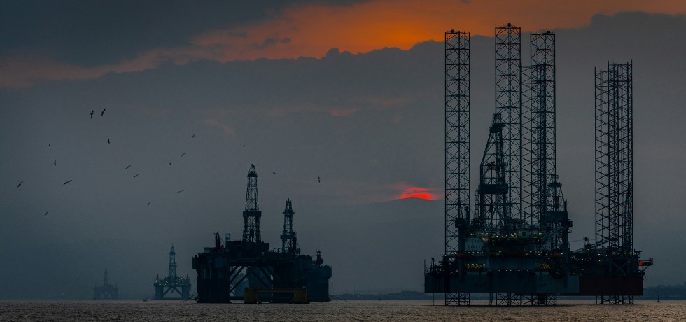
Offering oil and gas licences every year distracts from the challenge of winding down UK North Sea
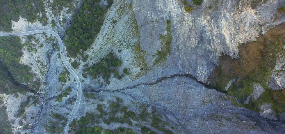
‘Many sleepless nights’: why scientists who predict landslides are under enormous pressure
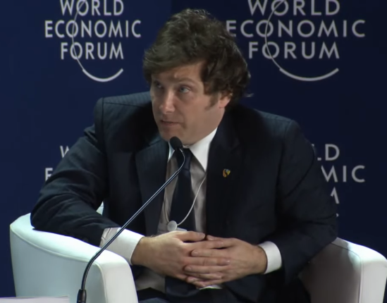
New Argentinian president Javier Milei promises to ‘take a chainsaw’ to country’s crippled economy
We rarely hear about the disasters that were avoided – but there’s a lot we can learn from them
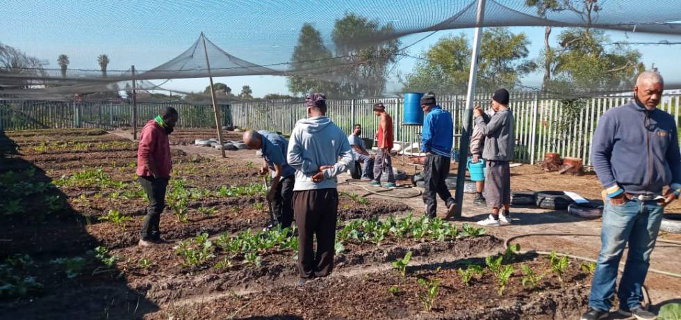
Cultivating hope: urban community gardens as beacons of resilience in the neoliberal city – a case study in Cape Town, South Africa