

By Ryan McCarrel, University College Dublin
Over the last several days an unfortunate spike in violence has once again shaken Jerusalem to its core – stoking fears of reprisals among Palestinians and Israelis alike. According to Peter Baumont of The Guardian (2015), most of these violent attacks have occurred along, “the city’s so-called ‘seam line’, which marks the boundary between Jewish west and largely Palestinian east Jerusalem.” As the situation threatens to spiral out of control, Israeli authorities have taken to establishing check points and blockades to try and “seal off” some Palestinian neighborhoods.
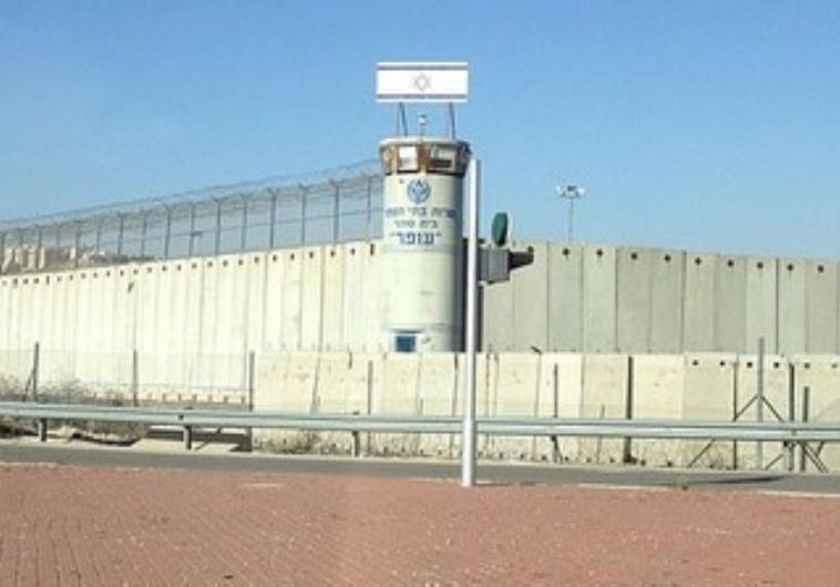
Israeli officials have a long history of using spatial tactics like these in order to try and control the mobility of Palestinians. The most prominent of which is a 422 mile long separation wall. This has notably led many activists and academics alike to draw parallels between the separation wall and the United States government’s construction of barriers along their southern border with Mexico. In the latest issue of Area, geographers Geoffrey Boyce, David Marshal and Jeffrey Wolson suggest that that such comparisons are problematic and potentially misleading.
They argue that, “the function, origin and impact of specific security walls within a larger nexus of ‘borderisation’ becomes an empirical question to be established through careful exploration and research” (Boyce et al., 2015: 294). In other words, while there may be seemingly obvious parallels in practices, these shouldn’t be assumed at the outset. Instead, they suggest that careful empirical research reveals small details that open up, “opportunities for strategic intervention and collaboration” (Boyce et al., 2015: 294).
Their intervention responds to a growing body of academic work in the field of geography, that looks into, “spatial tactics, or the use of space to control people, objects, and their movement” (Mountz et al., 2012: 523). Geographical research into these tactics is growing in importance as governments around the world, including Israel and the United States, continue turn to them in order to try and manage issues ranging from migration to conflict.
 Beaumont, P. (2015, October 14). New checkpoints and fears divide Jerusalem’s Jews and Palestinians. The Guardian. Available at: http://www.theguardian.com/world/2015/oct/14/new-checkpoints-and-fears-divide-jerusalems-jews-and-palestinians
![]() Mountz, A., Coddington, K., Catania, R. T., & Loyd, J. M. (2013). Conceptualizing detention: Mobility, containment, bordering, and exclusion. Progress in Human Geography, 37(4), 522–541. http://doi.org/10.1177/0309132512460903
Mountz, A., Coddington, K., Catania, R. T., & Loyd, J. M. (2013). Conceptualizing detention: Mobility, containment, bordering, and exclusion. Progress in Human Geography, 37(4), 522–541. http://doi.org/10.1177/0309132512460903
