

Benjamin Sacks
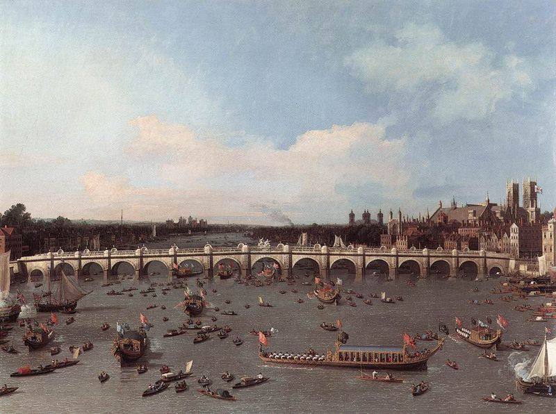
IN THE June 2010 issue of The Geographical Journal, Stuart Oliver (St Mary’s University College) critically reviewed the development of the River Thames as a function of London’s material growth. Importantly, Oliver suggests that the physical geography of the River Thames was intentionally manipulated in order to increase its long-term economic value: ‘The engineering structures that it entailed subjected the river to disciplinary control, and allowed the more efficient flow of the river (and the goods it carried), reworking it in accordance with the priorities of a hidden geography of value’ (164). The River Thames was (and remains) the city’s veins; a “living, breathing” part of London. Oliver’s argument is significant not least as he highlights the intimate relationship between a famous waterway and a modern world city. As early as the twelfth-century, London officials administered the River Thames as if it were a land-based borough of the city, codifying legal statutes pertaining to the waterway’s use and navigation, as well as organizing long-term water resource management. As London’s needs both grew and multiplied, so too did the River Thames’s usefulness and applicability. Surrounding communities waxed and waned on the river’s economic opportunities, adapting or reconstructing themselves when necessary to maintain an advantageous relationship with the River Thames. A July 1995 paper, also featured in The Geographical Journal, examined the contemporary impact of the River Thames on urban planning, development, and efforts to re-energize defunct wharfs, quays, and housing estates.
The London-Thames relationship is by no means unique; similar symbiotic relationships exists in major cities throughout the world. Venice, Italy, of course, is renowned for its street-wide canals. But if we look to the Far East, or to the Americas, other, fascinating examples exist. Shanghai developed around the Yangtze River Delta and Huangpu River, the latter of which winds through the heart of the city’s financial and cultural districts. In South America, Manaus is another exotic example. Situated well over one thousand miles inland into the Amazon Rain Forest, Manaus’s life is almost entirely tied to the Amazon River. Thousands of cargo vessels pass through Manaus’s estuaries every year, sustaining the city’s economy. The city’s accessibility via the river has resulted in its cultural enrichment.
![]() Stuart Oliver, ‘Navigability and the Improvement of the River Thames, 1605-1815‘, The Geographical Journal 176 no. 2 (Jun., 2010): pp. 164-177.
Stuart Oliver, ‘Navigability and the Improvement of the River Thames, 1605-1815‘, The Geographical Journal 176 no. 2 (Jun., 2010): pp. 164-177.
![]() Andrew Church and Martin Frost, ‘The Thames Gateway – an Analysis of the Emergence of a Sub-Regional Regeneration Initiative‘, The Geographical Journal 161 no. 2 (Jul., 1995): pp. 199-209.
Andrew Church and Martin Frost, ‘The Thames Gateway – an Analysis of the Emergence of a Sub-Regional Regeneration Initiative‘, The Geographical Journal 161 no. 2 (Jul., 1995): pp. 199-209.
