
By Joseph J. Bailey, University of Nottingham
Lightning, while visually stunning and often quite exciting, poses a very real threat to humans (e.g. Europe in May; increased deaths in the USA) and associated thunderstorms can endanger lives and livelihoods through high winds and intense rainfall. An improved ability to predict thunderstorms may help to mitigate their impacts. Using spatial science to study lightning patterns has the potential to assist in this area of research and ‘save lives rather than end them’ (p. 196), say the authors of a recent Geography Compass article (Ellis and Miller, 2016).
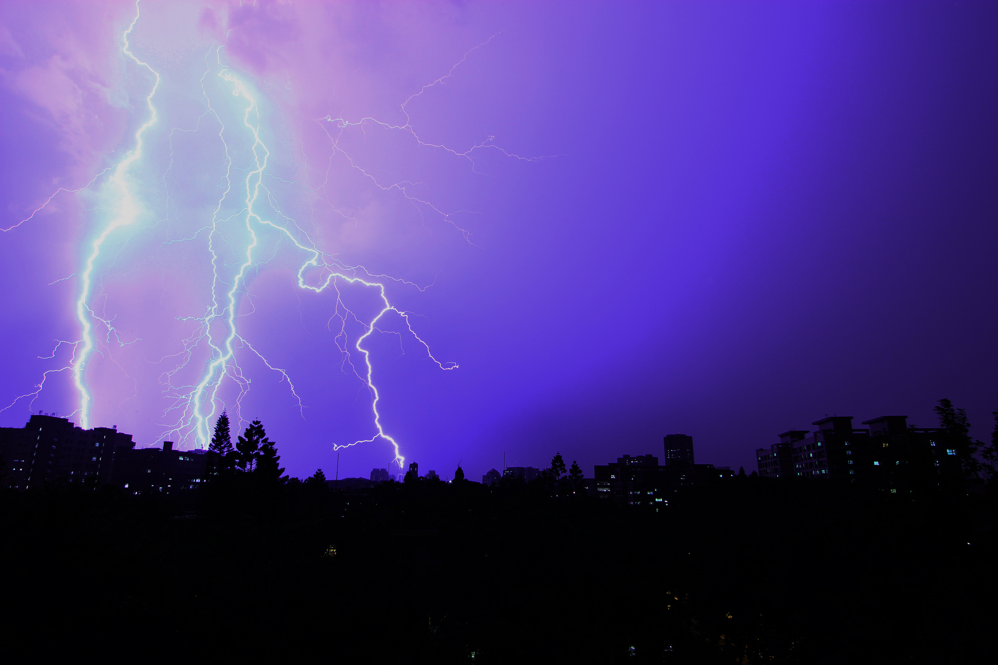
The behaviour of lightning can be reflective of a storm’s intensity. Short-term storm intensity is very difficult to predict, even when forecasters are confident in the coverage and direction of a storm. Indeed, a rapid increase in the frequency of lightning strikes may be observed before a storm that produces severe weather. With this in mind, spatial science might be able to help us analyse the vast spatial datasets of lightning strikes and contribute towards understanding these systems and predicting ‘imminent storm severity’ (Ellis and Miller, 2016). Specifically, this work addresses lightning jump algorithms (LJAs) and understanding storm-specific lightning trends and the importance of their spatial and temporal components. By doing this, lighting strikes can be clustered in space and time and the overall patterns understood and hopefully linked to short-term storm severity.
Increased quantity and quality of data nearly always assists with science, where the analytical skills and technology exist in parallel. As discussed in Ellis and Miller (2016) a new instrument called Geostationary Lightning Mapper (GLM) will soon be integrated with NOAA’s Geostationary Operational Environmental Satellite (also see this NASA article). This will be able to monitor lightning from space, providing novel data and enhancing our ability to monitor and predict storms, complementing (and providing a backup for) existing, ground-based instruments such as radar.
Such an advancement seems all the more important when we consider that the number of lightning strikes (Romps et al., 2014) and overall storm intensity (NASA Earth Observatory) are expected to increase with global warming, as well as overall storm intensity. These are therefore very interesting times for understanding and predicting storm activity. Hopefully all of these efforts from spatial scientists, geographers, and meteorologists will lead to fewer losses and a reduced numbers of deaths and injuries from thunderstorm events and lightning strikes.
![]() Ellis, A. and Miller, P. (2016). The Emergence of Lightning in Severe Thunderstorm Prediction and the Possible Contributions from Spatial Science. Geography Compass, 10, 192–206.
Ellis, A. and Miller, P. (2016). The Emergence of Lightning in Severe Thunderstorm Prediction and the Possible Contributions from Spatial Science. Geography Compass, 10, 192–206.
 Romps et al. (2014). Projected increase in lightning strikes in the United States due to global warming. Science, 346, 851–854.
