
by Benjamin Sacks, Princeton University
In the mobile Internet age, nearly every individual has the capacity to create. Despite the rapid transformation of cartography from analogue to digital, elite to everyman, maps remain biased, nuanced, meaning-laden documents, much as J B Harley and David Woodward first argued in their respective late twentieth century scholarship. Joe Gerlach (University of Oxford) has sought to both connect existing studies of maps with open-sourced cartography, as well as investigate digital, crowd-sourced mapping on its own terms and merits. In ‘Editing worlds: participatory mapping and a minor geopolitics’ (Transactions April 2015) he examined what OpenStreetMap means for cartography as a geopolitical tool in international affairs.
According to Gerlach, the Cold War dominated twentieth century geopolitical cartography; he recalled Gearóid Ó’Tuathail’s weaved narrative imagining ‘Halford Mackinder and Henry Kissinger acting out manifold “belligerent dramas” over the spectre of a world map’ (273). This intimate association with realpolitik and its manifestations (war, trauma, Mutually Assured Destruction, colonisation, proxy conflict) might have provided geopolitics with a measure of ‘institutional rigour’ (borrowing from Edoardo Boria) but at the expense of cartography’s legitimacy. Grassroots, open source mapping moves to restore cartography’s geopolitical credentials by distancing itself from the Cold War’s more onerous legacies. Gerlach suggested that a ‘minor’ revolution in cartography is underway. Not minor in size or scale, but rather in its sociological and literary sense: ‘an examination of the non-representational aspects of this representational practice as a way of spotlighting the often unspoken, anticipatory politics of mapping’ (274). Or, in other words, the culture(s) and movement(s) of open-source, grassroots mapping.
This is a brave new world, at least from a scholarly standpoint. What does cartographic inclusiveness mean? How does mass-participatory, often non-moderated cartography influence geopolitics at the local, regional, or international levels? By its very nature, such mapping is ‘uncertain and experimental’, outside the bounds of traditional scholarly or political cartographic analysis. At its core, the maps are moved, influenced, and popularised by the crowd; subject to its rational and irrational drifts, pulls, and tendencies.
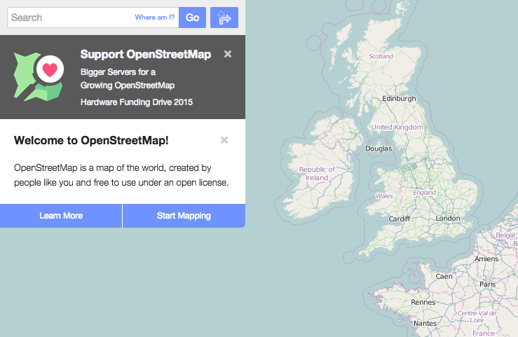
Programmes like OpenStreetMap seek to free the user from restrictions imposed by such official, controlled maps as Ordnance Survey and United States Geological Survey charts. In so doing, users become active authors in cartography and, by extension, the multi-dimensional geographical landscape. In Peru, for instance, a digitally-aware audience has effectively and efficiently subverted the military’s de facto monopoly on maps, identifying, creating, manipulating, and distributing their own cartographies via OpenStreetMap. Through social gatherings, group GPS expeditions, and checking each others’ work, contributors established themselves – however deliberately or accidentally – as a national cartographic force, competition to the military’s own carefully controlled maps.
Of greatest importance is the sheer excitement open source mapping brings to cartography. Like Wikipedia of the 2000s, OpenStreetMap is still in its childhood, subject to referee issues, inaccuracies, and end-user problems. Regardless, by providing free-to-use, easily manipulated cartographic tools to the public on desktop and mobile devices, geographic knowledge can reach an audience few twentieth century geographers – and especially those of a Cold War persuasion – could have foreseen.
Boria E (2008) Geopolitical maps: a sketch history of a neglected trend in cartography Geopolitics 13 278-308.
Gerlach, J. (2015), Editing worlds: participatory mapping and a minor geopolitics. Transactions of the Institute of British Geographers, 40: 273–286. doi: 10.1111/tran.12075
Ó’Tuathail G, Dalby S and Routledge P eds (2006) The geopolitics reader 2nd edn Routledge, London 237-54.
